
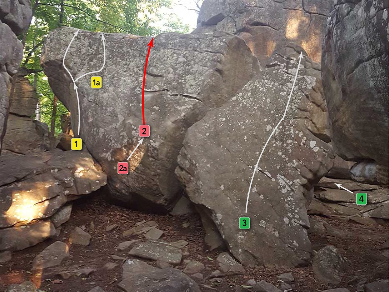
Horse Pens 40 / Steele, Alabama
My Climbing Guide
Find the boulder. Read the beta. Climb with your people.
Landslide / V8 / Horse Pens 40
Built for days outside
A clearer day at the park.
My Climbing Guide keeps the map, route knowledge, and people you climb with in one focused place. The first guide is being built around Horse Pens 40.
On the map
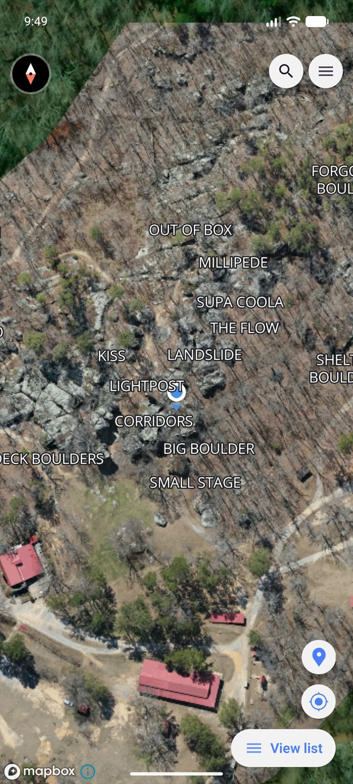
Know where to go.
See boulders and routes in context, filter the guide, locate a climb, and share a temporary meetup pin with friends.
- Route-aware map markers
- Search and difficulty filters
- Friend location sharing
At the boulder
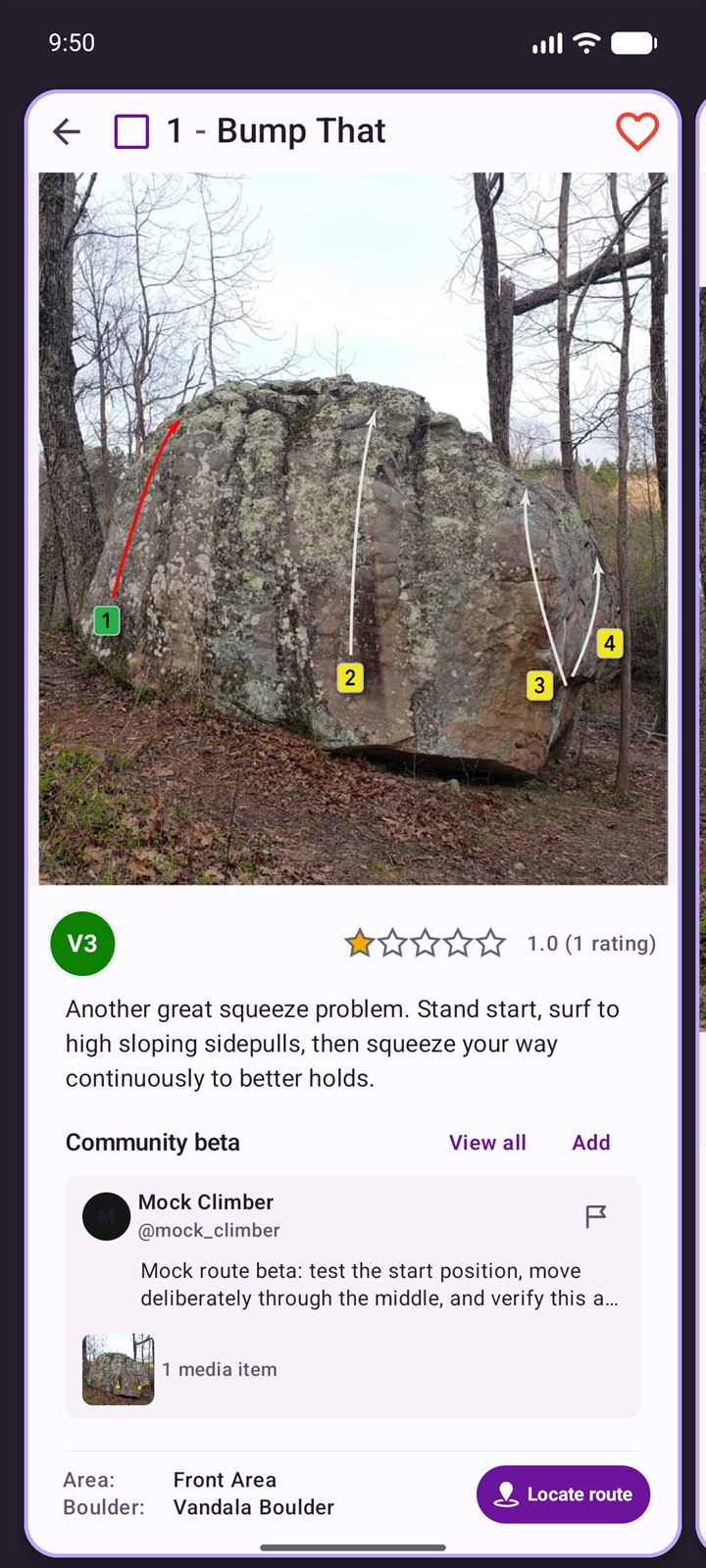
Route details at a glance.
Open a route for its grade, rating, description, image, location, and community notes without losing your place on the map.
- Route details and photos
- Community star ratings
- Climber beta in context
Between climbers
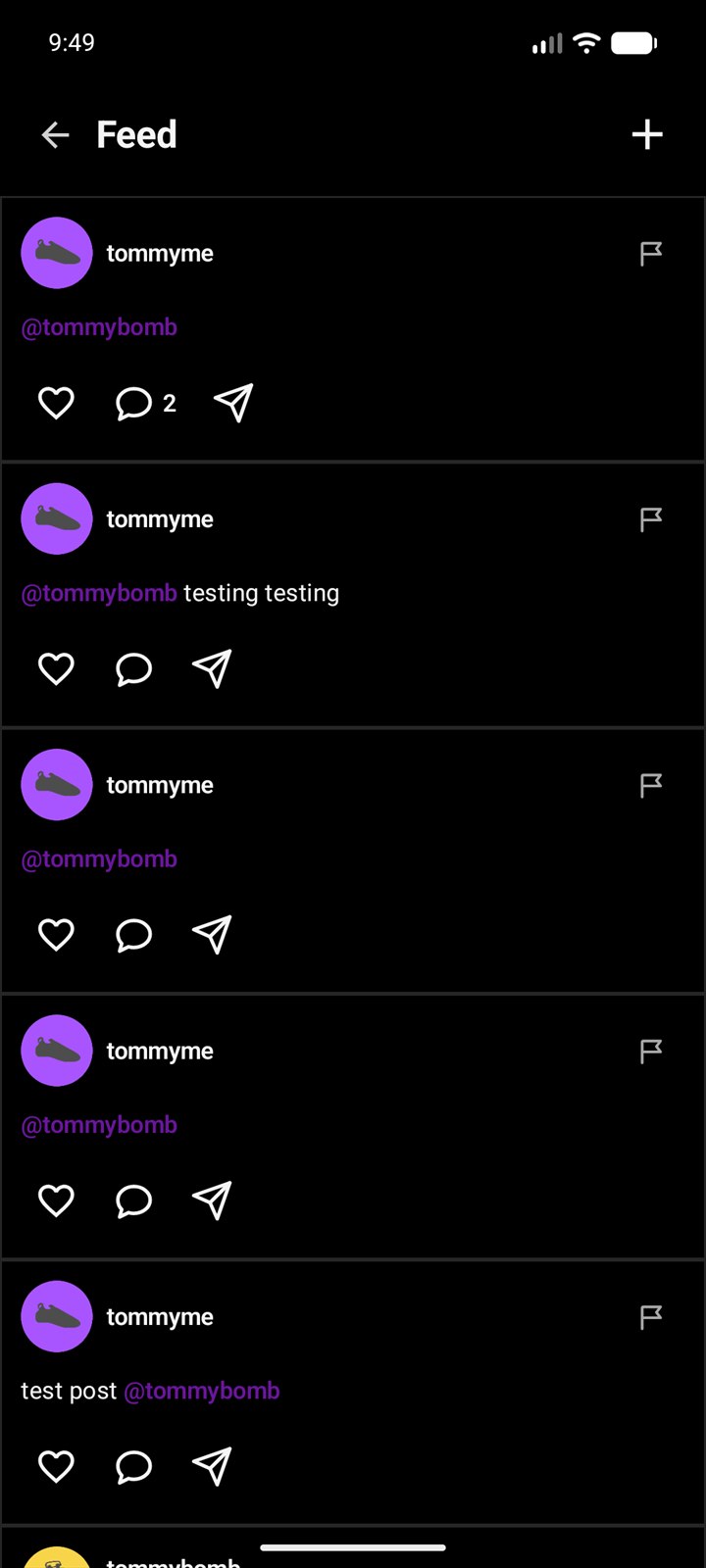
Stay connected at the park.
Share a send, post route beta, find friends, message directly, and keep useful climbing activity tied to the routes it belongs to.
- Posts, photos, and route beta
- Friends, messages, and mentions
- Reporting and account controls
Starting at Horse Pens 40
The guide is taking shape.
The Android app is preparing for Google Play. An iPhone version is planned next, with the same accounts, route data, and community.